OFF ROADING
Mount Beauty is surrounded by a huge network of dirt tracks that carve their way through State Forest and up into the Alpine National Park. So grab your topographical off-road atlas because the opportunities for 4WD and dirt bike adventures here are endless. Here are a few suggestions to get you started.
TAWONGA GAP TRACK
Moderate | 31km | 2hrs
From Mount Beauty, drive 1.1km northeast along the Kiewa Valley Highway and turn onto Tawonga Gap Road. Follow the sealed road 7.5km up the mountain to Tawonga Gap Lookout then turn south onto the dirt Tawonga Gap Track. Follow the track along the ridge, with spectacular views of Mount Bogong and Mount Buffalo from the saddle. Follow the signs to Simmonds Gap turning east onto the steep Big Flat Track and then turn left onto Dungey Track followed by Pyramid Hill Fire Track through to Simmons Creek Road back to Mount Beauty.
BIG HILL LOOKOUT
Easy | 22km | 1.5hrs
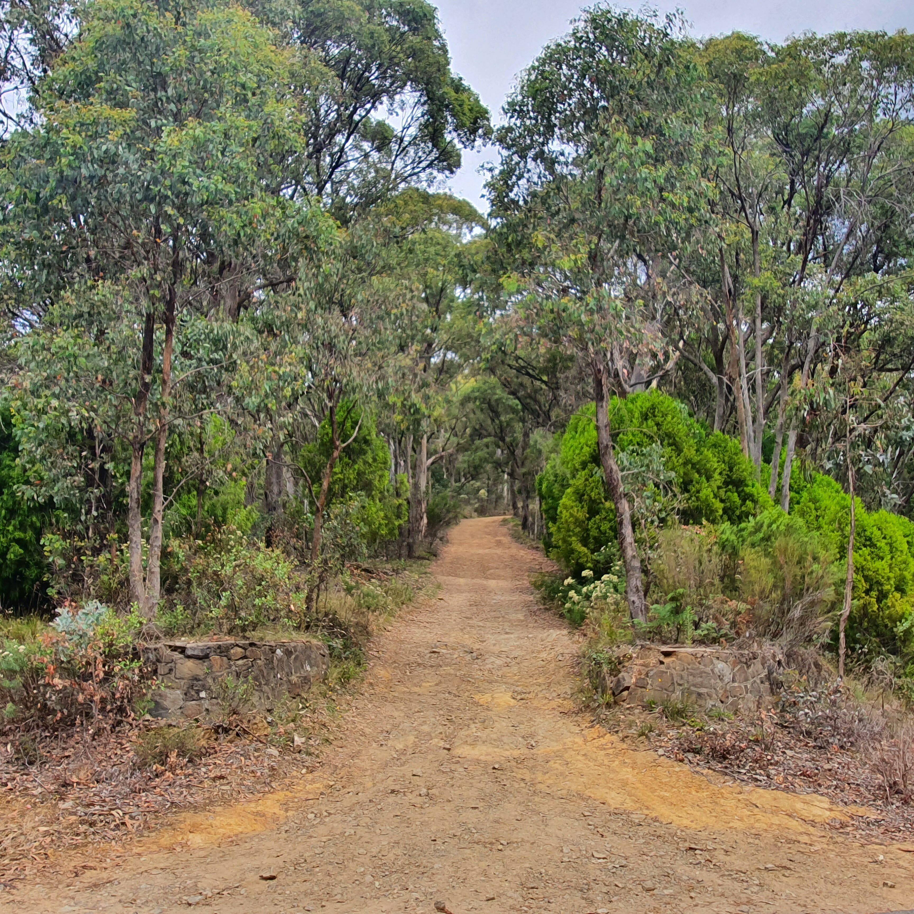
This easy track takes you up to the summit of Big Hill (1,067m), which is the mountain that rises up from the south end of the township of Mount Beauty. From town, drive 5km east on the sealed Bogong High Plains Road and turn right at Crankie Charlie. Follow the signs to the West Kiewa Power Station along a good gravel road. After about 6km from Crankie Charlie, turn left to Big Hill Lookout, which has terrific views over the town of Mount Beauty, the Kiewa Valley, Mount Bogong and Mount Emu. Return along the same route.
PREPARE FOR ANYTHING
From snow to bushfires, floods and gale-force winds, the weather in the High Country can be fierce and change rapidly. Always check conditions before venturing out, ensure your equipment is working and carry adequate food, water and warm clothing. Importantly, download the VicEmergency and the Emergency Plus apps to your phone.
Notify someone of your plans before you set out. Many parts of the High Country have poor or no mobile phone coverage. Emergency beacons and satellite devices are recommended for your safety.
LEAVE NO TRACE
Our region is sensitive to human presence. We are privileged to have endangered animals such as platypus, pygmy possums and alpine dingoes surviving in our environment. Your behaviour has impacts our flora and fauna. Always stay on formed roads and paths and don't cut new lines. Protect our wildlife and the beauty of our environment by taking all rubbish with you.
Never light a fire on a Total Fire Ban day. When permitted to use fire, always extinguish your campfire completely before you leave. Enjoy our outdoors, and remember, leave no trace.
MOUNT McKAY
Easy | 13km return | 1hr
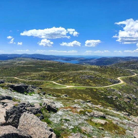
The drive up to Mount McKay (1,842m) – the highest mountain summit accessible by road in Australia – is a short but rewarding drive in the Alpine National Park near Falls Creek. The mountain summit is a popular sunset destination with views over the Bogong High Plains, Mount Bogong, Rocky Valley Storage Dam, The Razorback and Mount Feathertop.
To get there from Falls Creek, drive south along the Bogong High Plains Road past Windy Corner then turn right onto Pretty Valley Road. Follow this dirt road until you reach a fork where you turn right up to Mount McKay. This drive is only possible during the green season when the snow has melted from the alps.
MITTA MITTA LOOP
Easy | 106km | Full day
From Mount Beauty, drive north along the Kiewa Valley Highway to Tawonga and turn down Mountain Creek Road. The road soon turns to an easy dirt 4WD road up over the range through to Mitta Mitta where you can stop for lunch by the river or at the pub. From Mitta Mitta, take the Mitta N Road to Eskdale, then join the Omeo Highway briefly and exit onto Little Snowy Creek Road. Turn east onto Smythes Road, followed by Fluerty Track and Bowmans No.1 Track, then turn east onto Eskdale Spur Track. Turn south onto Bay Creek Track and follow it to the sealed Redbank Mongans Road back to Mount Beauty. Allow a full day.
OTHER EXPERIENCES YOU'LL LOVE


