GRAVEL RIDES
The mountains surrounding Mount Beauty are full of forest roads that lead to adventure. Follow them through bushland, over to rivers and up to high summits with panoramic views. There's one thing most of the tracks have in common – steepness – these are mountains after all. With the exception of the rides up in the Bogong High Plains around Falls Creek, riders may get more enjoyment zipping down the fast descents into Mount Beauty on the fatter tyres of a mountain bike rather than the 25mm of a gravel bike, but the skinnies can be used on descents with caution. Make sure to take a good topographical map as many of these roads can be remote.
BIG HILL LOOKOUT
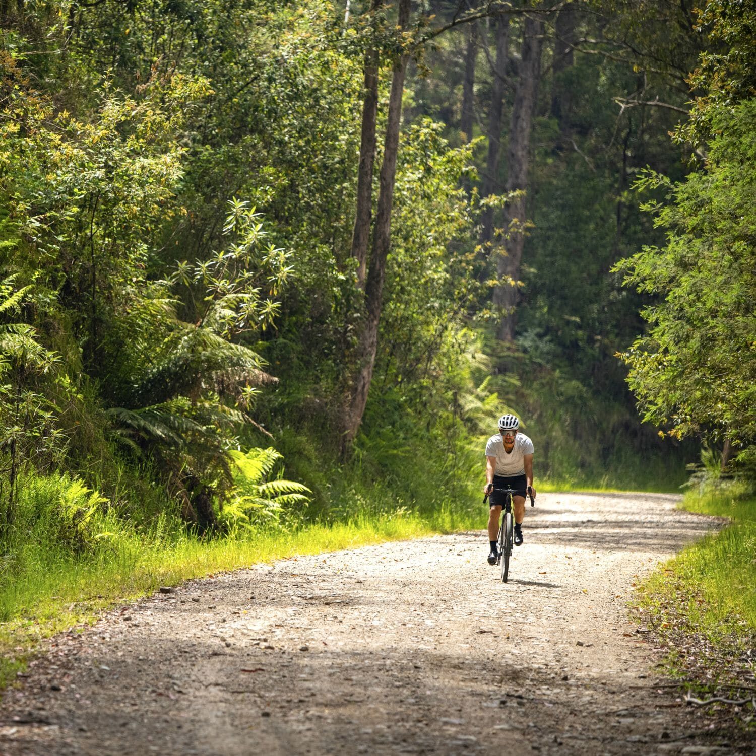
This 21km ride takes you up to the summit of Big Hill (1,067m), which is the mountain that rises up from the south end of the township of Mount Beauty. The climb is a great way to test your fitness and be rewarded with some stunning views from the top. From town, take the Survey Track fire trail to Crankie Charlie. Cross the Bogong High Plains Road and take the gravel Big Hill Road, following the signs to the West Kiewa Power Station. After about 6km from Crankie Charlie, turn left to Big Hill Lookout, which has terrific views over the town of Mount Beauty, the Kiewa Valley, Mount Bogong and Mount Emu. Return along the same route.
SIMMONDS CREEK RIDE
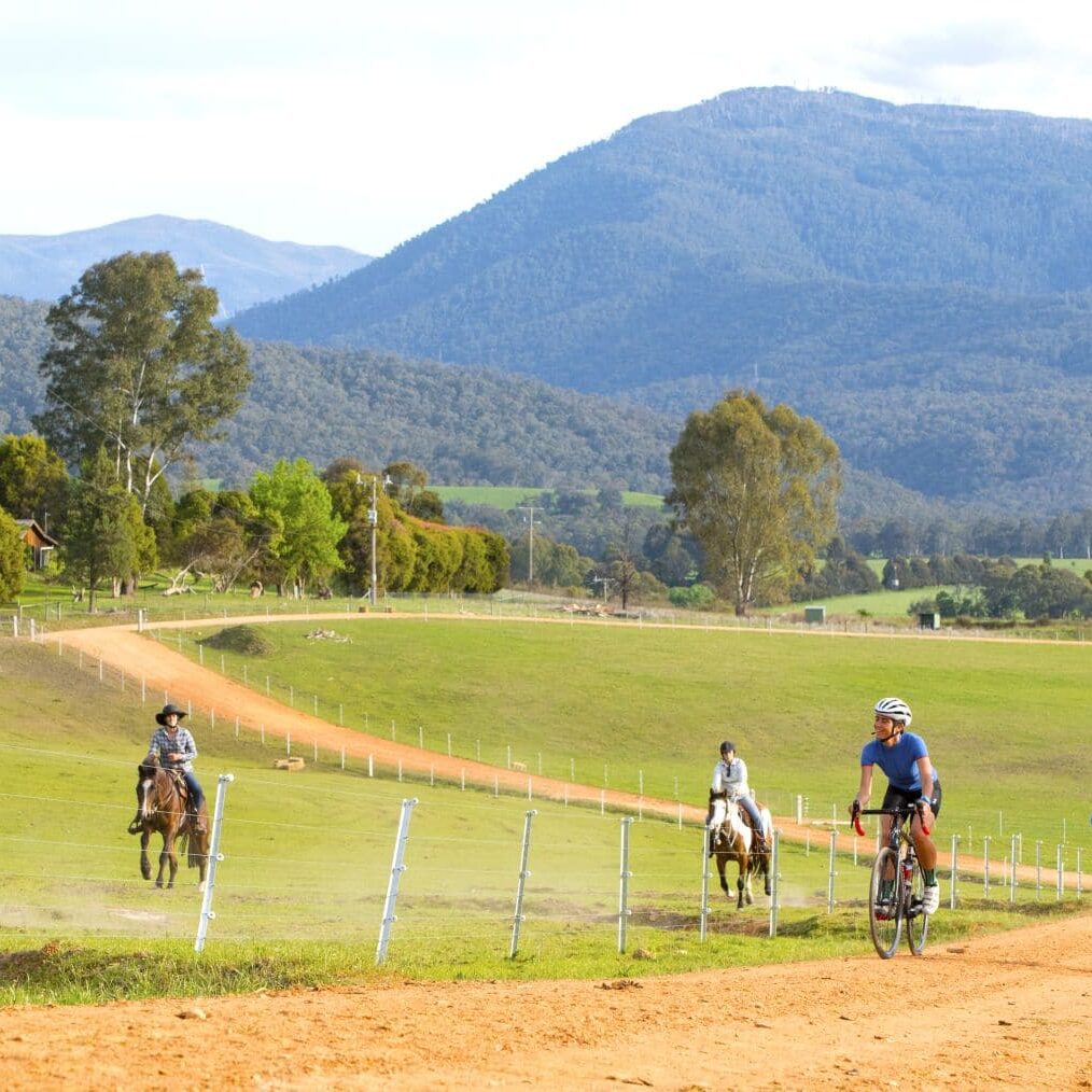
This 24km-return ride is perfect for beginners. The route takes you out through the State Forest and along a section of the Kiewa River's west branch. This short ride has less climbing than the average dirt road in this region, gaining just over 300m in elevation. To get there, ride northwest out of Mount Beauty alongside the Kiewa Valley Highway (you may like to use the Mount Beauty to Tawonga Bike Path) and after 800m, turn left onto Simmonds Creek Road. The sealed road soon turns to gravel as you ride through natural bush. Stay on this road until you cross Simmonds Creek, then stop at the Kiewa River crossing. Return the same way.
FALLS CREEK RIDES
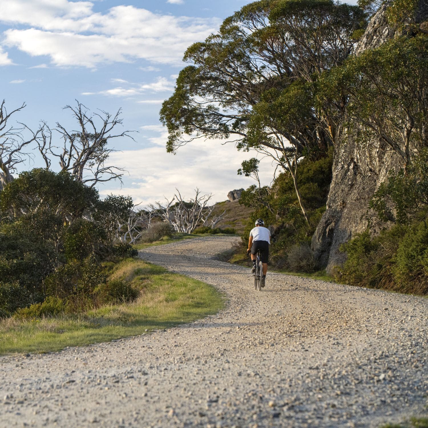
Some of the most stunning gravel rides in the region are found up on the Bogong High Plains around Falls Creek in the Alpine National Park. A large network of management tracks weave their way up to mountain summits, past historic huts, lakes, wildflower plains and snow gum forest. The gravel road up to Mount McKay is the highest road-accessible summit in the country, reaching 1,849m, with views to match.
PREPARE FOR ANYTHING
From snow to bushfires, floods and gale-force winds, alpine weather can be fierce and change rapidly. Always check conditions before venturing out, ensure your equipment is working and carry adequate food, water and warm clothing. Importantly, download the VicEmergency and the Emergency Plus apps to your phone.
Notify someone of your plans before you set out. Many parts of the High Country have poor or no mobile phone coverage. In remote areas, emergency beacons and satellite devices are recommended for your safety.
LEAVE NO TRACE
Our region is sensitive to human presence. We are privileged to have endangered animals such as platypus, pygmy possums and alpine dingoes surviving in our environment. Your behaviour has a direct impact on our flora and fauna. When outdoors, stay on formed paths and roads and protect our wildlife and the beauty of our environment by taking all rubbish with you.
Never light a fire on during a Total Fire Ban. When permitted to light a fire, always extinguish your campfire completely before leaving. Enjoy our outdoors, and remember, leave no trace.
OTHER EXPERIENCES YOU'LL LOVE


